Blank maps to print
142 maps that are blank, numbered, labeled or marked with capitals: the world, the continents, 53 countries with their states, provinces or regions, the US and each of its 50 states with its counties, Spain, and physical maps with rivers and mountains. Ready to print on Letter, Tabloid, A4 or A3, or to download as PNG and SVG. Free, no sign-up.
No map has that name. Try the country or the continent.
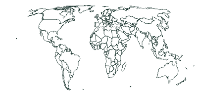
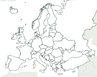
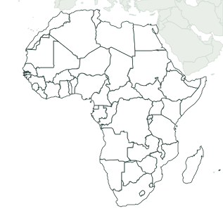
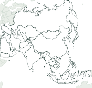
The world and the continents
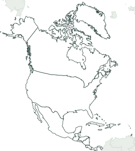
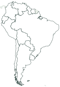
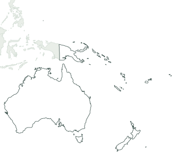
The world with its 194 countries, and each continent with its own, with their capitals.
Physical maps: rivers and mountains
The US, Spain (35 rivers and 11 mountain ranges, from the IGN’s data), Europe and the world: the physical map with rivers and mountains, and each one on its own. Rivers are numbered and mountain ranges lettered.
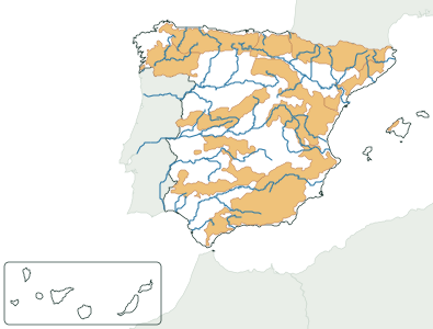 Spain, physical 35 rivers and 11 mountain ranges
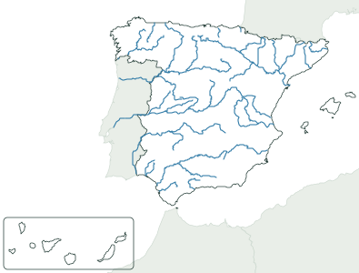 Spain’s rivers 35 rivers
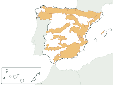 Spain’s mountain ranges 11 mountain ranges
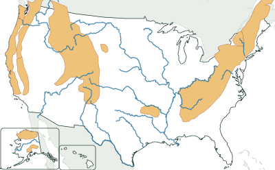 US physical 17 rivers and 10 mountain ranges
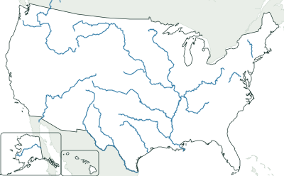 US rivers 17 rivers
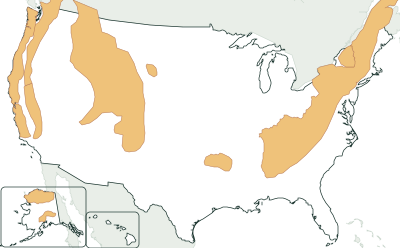 US mountain ranges 10 mountain ranges
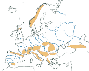 Europe, physical 22 rivers and 14 mountain ranges
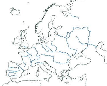 Europe’s rivers 22 rivers
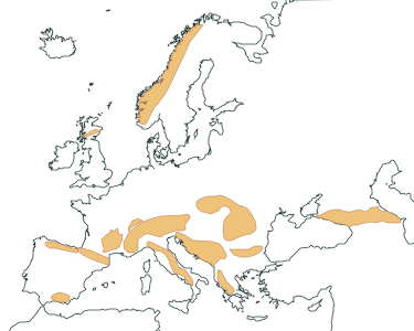 Europe’s mountain ranges 14 mountain ranges
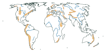 World, physical 24 rivers and 22 mountain ranges
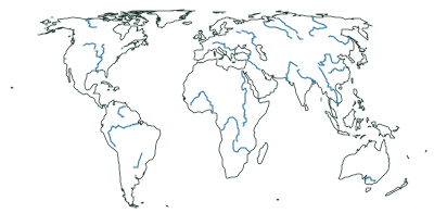 World rivers 24 rivers
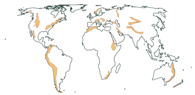 World mountain ranges 22 mountain ranges
Countries by state or province
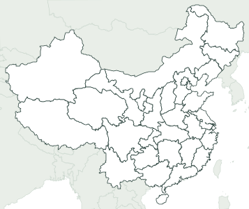
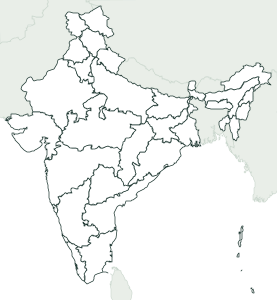
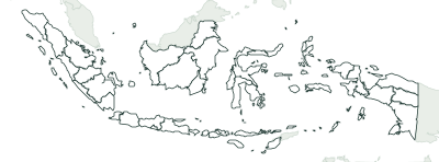
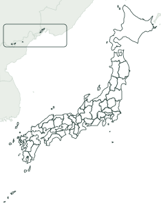
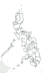
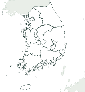
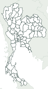
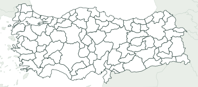
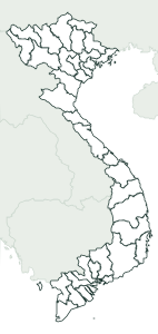
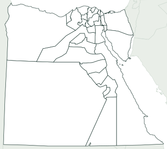
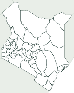
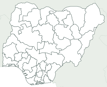
53 countries with their states, provinces, departments or regions, from France (101) to the United Kingdom (4).
The Americas
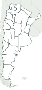 Argentina 24 provinces
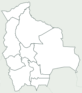 Bolivia 9 departments
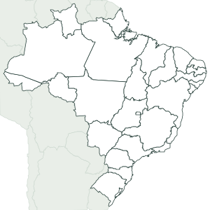 Brazil 27 states
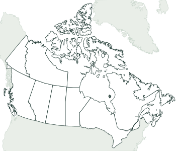 Canada 13 provinces
 Chile 16 regions
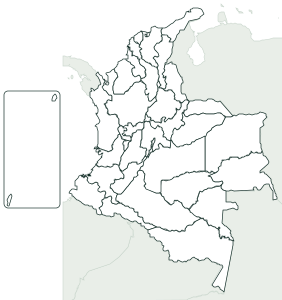 Colombia 33 departments
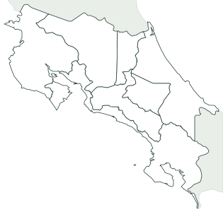 Costa Rica 7 provinces
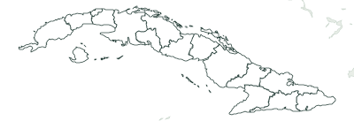 Cuba 16 provinces
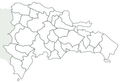 Dominican Republic 32 provinces
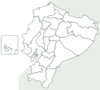 Ecuador 24 provinces
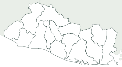 El Salvador 14 departments
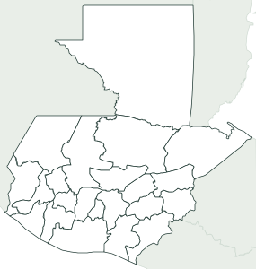 Guatemala 22 departments
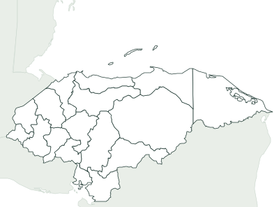 Honduras 18 departments
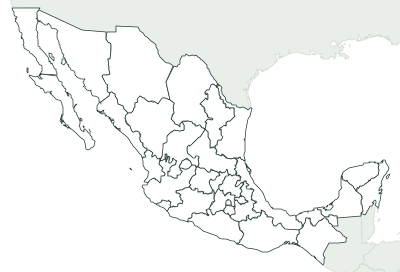 Mexico 32 states
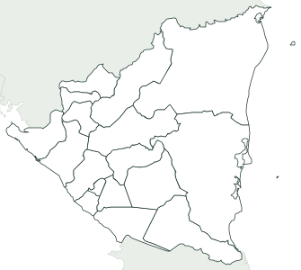 Nicaragua 17 departments
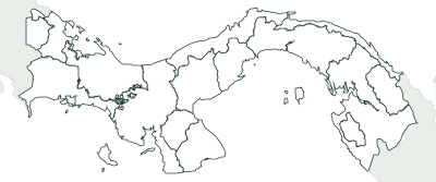 Panama 14 provinces
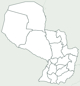 Paraguay 18 departments
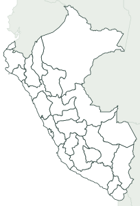 Peru 26 departments
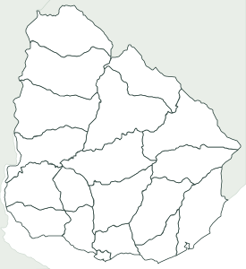 Uruguay 19 departments
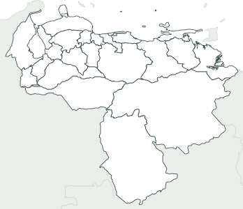 Venezuela 25 states
Europe
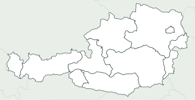 Austria 9 states
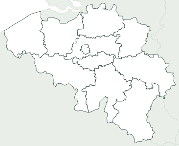 Belgium 11 provinces
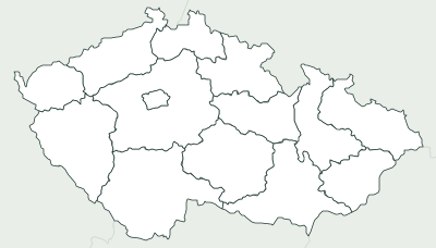 Czechia 14 regions
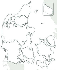 Denmark 5 regions
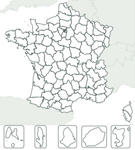 France 101 departments
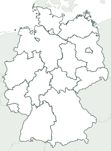 Germany 16 states
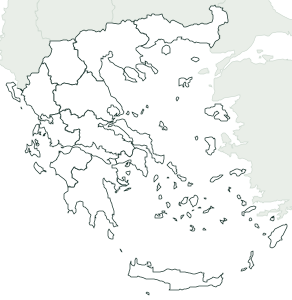 Greece 13 regions
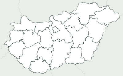 Hungary 20 counties
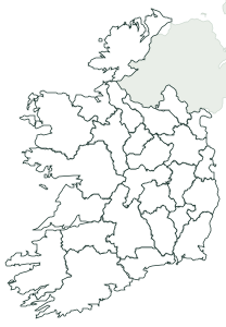 Ireland 26 counties
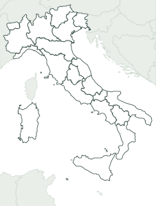 Italy 20 regions
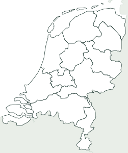 Netherlands 12 provinces
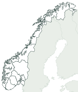 Norway 15 counties
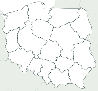 Poland 16 voivodeships
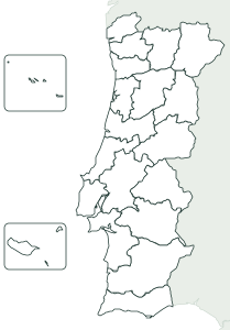 Portugal 20 districts
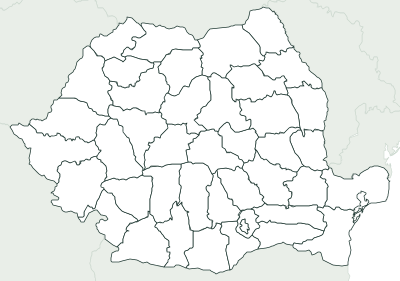 Romania 42 counties
 Sweden 21 provinces
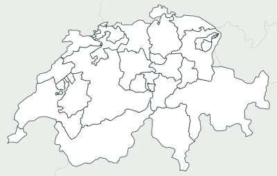 Switzerland 26 cantons
 United Kingdom 4 countries
Asia
Spain
By province, by autonomous community and each community on its own: those with several provinces show them, and the 7 with a single province show its municipalities.
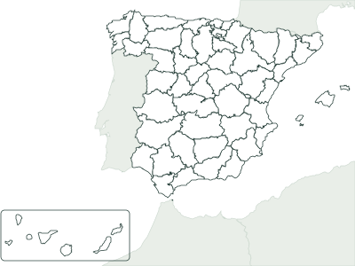 Spain by province 50 provinces plus Ceuta and Melilla
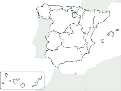 Spain by autonomous community 17 communities plus Ceuta and Melilla
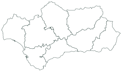 Andalusia 8 provinces
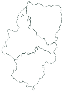 Aragon 3 provinces
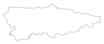 Asturias 78 municipalities
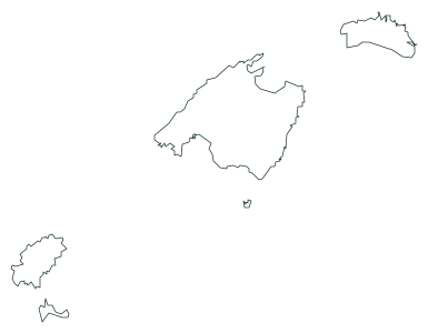 Balearic Islands 67 municipalities
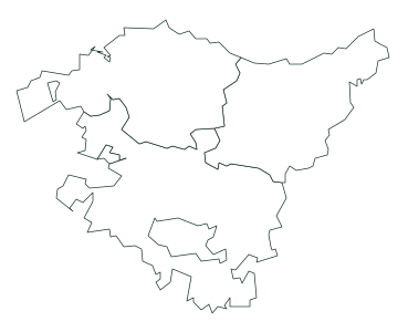 Basque Country 3 provinces
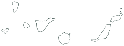 Canary Islands 2 provinces
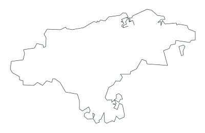 Cantabria 102 municipalities
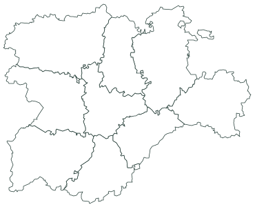 Castile and León 9 provinces
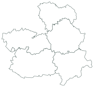 Castilla–La Mancha 5 provinces
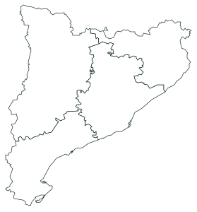 Catalonia 4 provinces
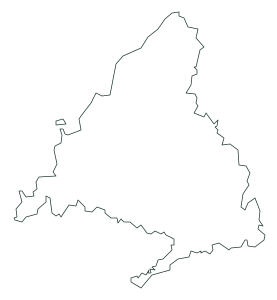 Community of Madrid 179 municipalities
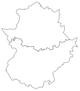 Extremadura 2 provinces
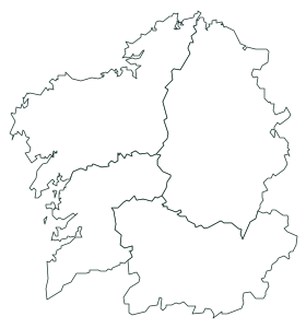 Galicia 4 provinces
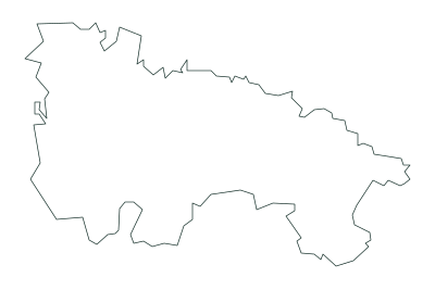 La Rioja 174 municipalities
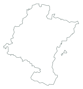 Navarre 272 municipalities
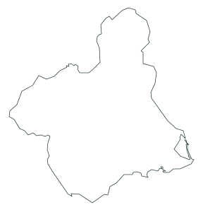 Region of Murcia 45 municipalities
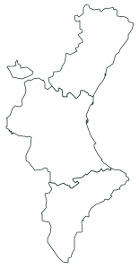 Valencian Community 3 provinces
United States
All 50 states, with Alaska and Hawaii in insets, and every state with its counties: 3,143 in all, from Delaware’s 3 to the 254 of Texas. With Census Bureau boundaries.
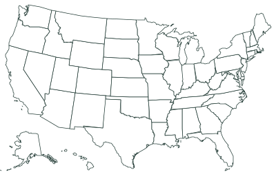
Each state by county
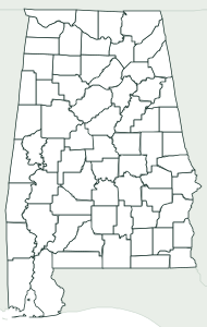 Alabama 67 counties
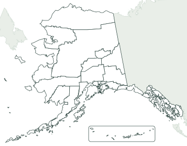 Alaska 19 boroughs and 11 census areas
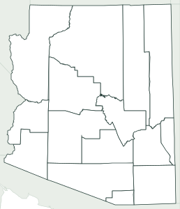 Arizona 15 counties
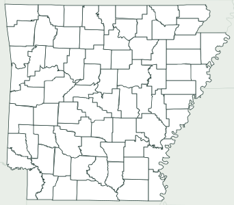 Arkansas 75 counties
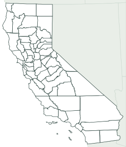 California 58 counties
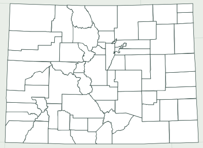 Colorado 64 counties
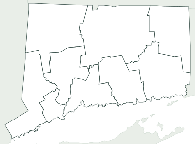 Connecticut 9 planning regions
 Delaware 3 counties
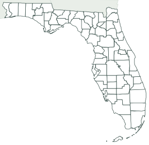 Florida 67 counties
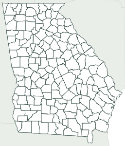 Georgia 159 counties
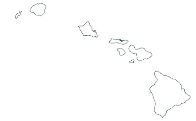 Hawaii 5 counties
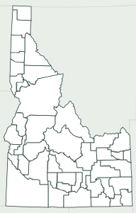 Idaho 44 counties
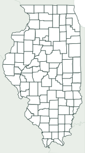 Illinois 102 counties
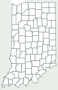 Indiana 92 counties
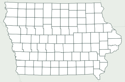 Iowa 99 counties
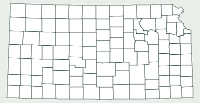 Kansas 105 counties
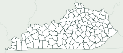 Kentucky 120 counties
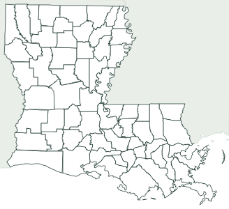 Louisiana 64 parishes
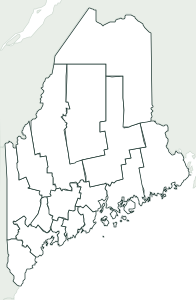 Maine 16 counties
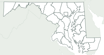 Maryland 23 counties and Baltimore City
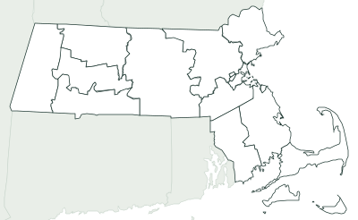 Massachusetts 14 counties
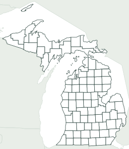 Michigan 83 counties
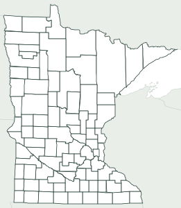 Minnesota 87 counties
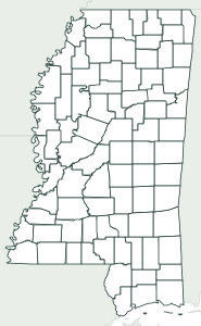 Mississippi 82 counties
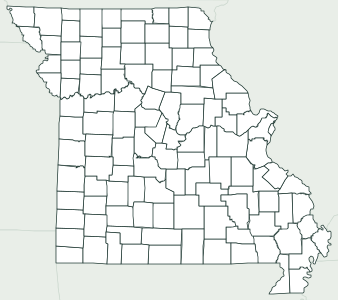 Missouri 114 counties and St. Louis City
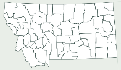 Montana 56 counties
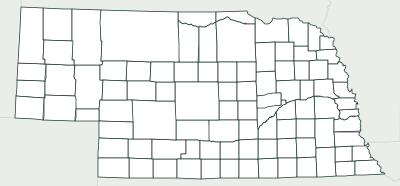 Nebraska 93 counties
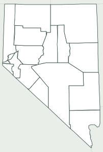 Nevada 16 counties and Carson City
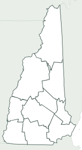 New Hampshire 10 counties
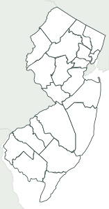 New Jersey 21 counties
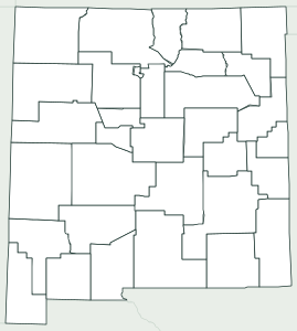 New Mexico 33 counties
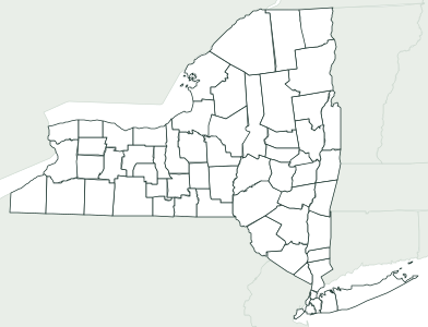 New York 62 counties
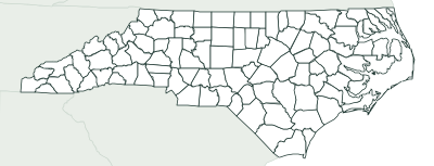 North Carolina 100 counties
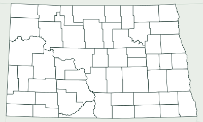 North Dakota 53 counties
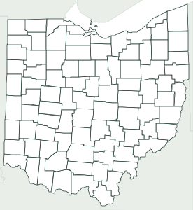 Ohio 88 counties
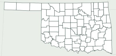 Oklahoma 77 counties
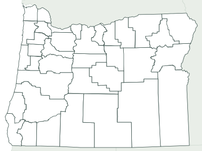 Oregon 36 counties
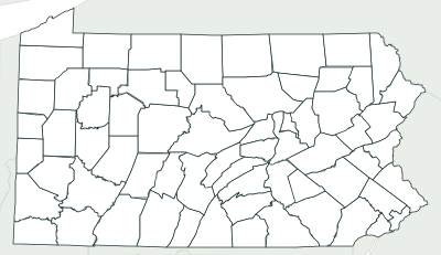 Pennsylvania 67 counties
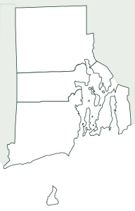 Rhode Island 5 counties
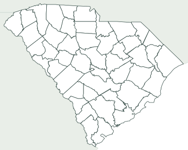 South Carolina 46 counties
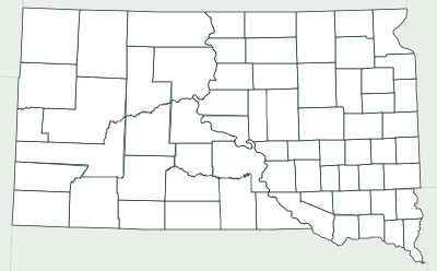 South Dakota 66 counties
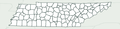 Tennessee 95 counties
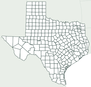 Texas 254 counties
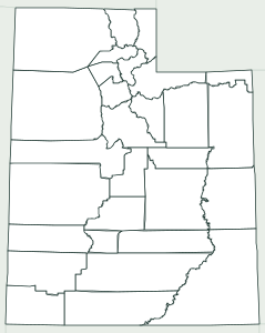 Utah 29 counties
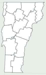 Vermont 14 counties
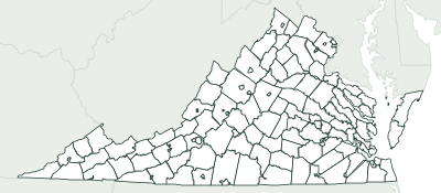 Virginia 95 counties and 38 independent cities
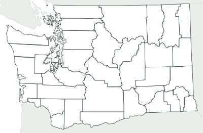 Washington 39 counties
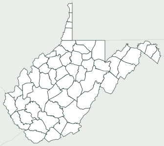 West Virginia 55 counties
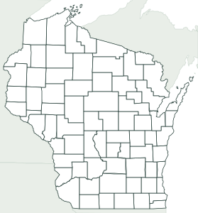 Wisconsin 72 counties
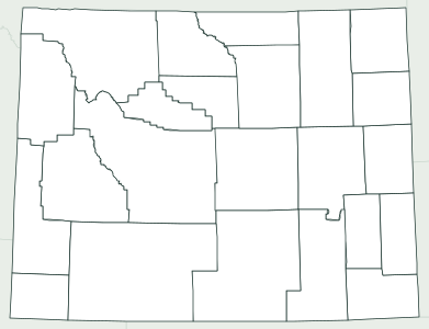 Wyoming 23 counties
How to pick a version
Every map comes in four versions. Blank shows only the borders, for coloring or for writing names from memory. Numbered puts a number on each country, state or province in alphabetical order, with a list underneath to write the names: it’s the handiest for a test, since each page has the key. Labeled is for studying, and Capitals marks each capital with a dot and its name. Physical maps have no capitals: rivers are numbered and mountain ranges lettered.
Print on Letter or Tabloid, A4 or A3, portrait or landscape. Tabloid and A3 show the same map bigger, which helps with busy maps like the world (194 countries) or France (101 departments). On the maps of Spain you can leave out the Canary Islands, which sit in an inset, so the mainland comes out bigger.
The PDF comes from your browser’s print window (“Save as PDF”), at actual size and with margins. The PNG, 2,400 pixels wide, works for slides or an interactive whiteboard, and the SVG can be edited in Inkscape, Illustrator or Canva.
For the classroom
Frequently asked questions
Are they free?
Yes. You can print, copy and hand them out in class as often as you like, without signing up. If you post them on a blog or class website, credit the source shown on each map.
Which blank maps are there?
142: the world (194 countries), Europe (49) and the other five continents; 53 countries by state or province; the 50 US states, and each state by county; Spain by province, by autonomous community and each of its 17 communities; and 12 physical maps with the rivers and mountains of the US, Spain, Europe and the world.
How do I download a PDF?
Click “Download PDF” and, in the print window, choose “Save as PDF” as the printer. The sheet is already set up with the paper size and orientation you picked.
Where do the borders come from?
US states and counties from the Census Bureau; Spain from its national mapping agency (IGN, CC BY 4.0); and the world, the continents and the other countries from Natural Earth (public domain), except the divisions of Kenya (geoBoundaries) and of Cuba and Egypt (OpenStreetMap, ODbL, via geoBoundaries). Country areas are the World Bank’s.
Why does Louisiana have parishes and Alaska boroughs?
Those are their words for counties. Louisiana calls them parishes after its French and Spanish past; Alaska has boroughs and, where there are none, census areas; since 2022 Connecticut uses nine planning regions; and Virginia has 38 independent cities that belong to no county. Each map explains it.
Can I change the title on the sheet?
Yes: type your own in “Title text”, or remove it with “Title on the sheet: No”. Every change (version, paper, orientation) shows up right away in the preview.