Measure, find and draw on the map
Map tools that just work in your browser, with real local data. Free, no sign-up, and every result shares with a link.
Free · No sign-up · 106 tools · OpenStreetMap and official data
Elevation · Denver · Colorado
5,280ft
Most used
- What city am I in?
- What country am I in?
- What county am I in?
- What municipality am I in? (Spain)
- What state am I in?
- Distance between two points
- Measure distance on a map
- Distance between cities
- Distance between cities in Spain
- Distance between ZIP codes
- Latitude and longitude finder
- Photo location finder
- Plot coordinates on a map
- Coordinate converter
- UTM to latitude and longitude
For the classroom
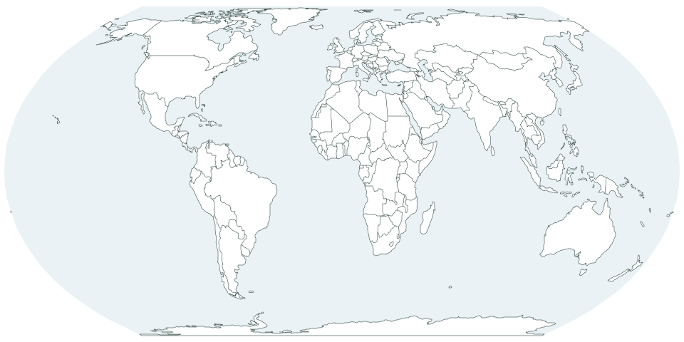
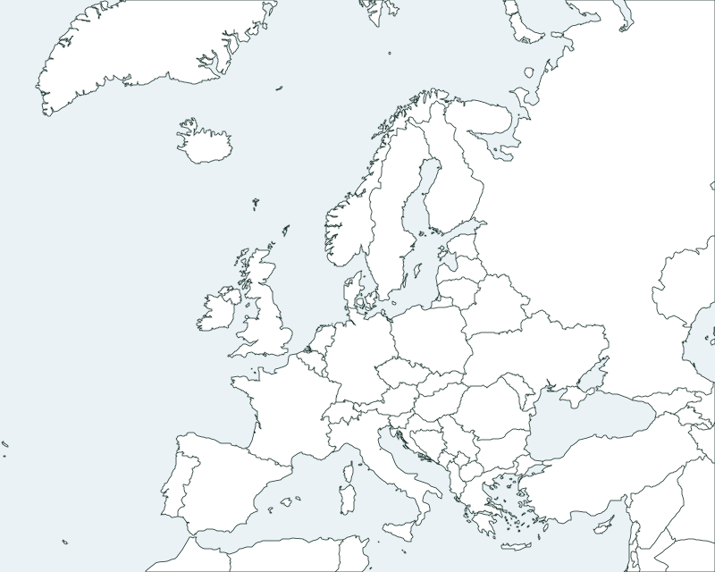
Blank maps to print, a quiz to practice with and worksheets with answer keys. Free, no sign-up.
Blank maps
Elevation of every place
Look up a town, a city or a peak and see its elevation above sea level, with its coordinates and a map.
Find the elevation of any placeColorado
Denver
5,280 ft
Colorado
Pikes Peak
14,115 ft
California
Mount Whitney
14,505 ft
Each color band is 500 m (1,640 ft), from sea level to 4,000 m, just like on the map.
More to explore
Pages built from data: compare sizes, check the distance between two cities, quote our studies or follow a step-by-step guide.
How it works
- 1 Search or use your location Type a place or a tool, or let the map find you.
- 2 Measure or draw Drop points, draw a radius or color in a map.
- 3 Share, download or print Send it with a link, save it as PNG or PDF, or print it.
Free, no sign-up, nothing to install.
Frequently asked questions
Still have a question? Write to us
Is it free?
Yes, all of it: the tools, the blank maps, the worksheets and the quiz. The site is paid for by ads, which never go inside the map or the tool.
Do I need an account?
No. Open a tool and use it. Your work is saved in your browser and you share it with a link.
Where does the data come from?
From open sources: OpenStreetMap for the map, GeoNames for places around the world, and official agencies such as the US Census Bureau and national mapping agencies for boundaries.
Can I use the maps in class?
Yes. Print the blank maps and the worksheets, which come with answer keys, and share the quiz with your class through a link. Nobody has to sign up.
Does it work on my phone?
Yes. Everything runs in your phone’s browser, with nothing to install. Tap “Use my location” to see your elevation or your county right away.