Maps of Spain, the world and every continent
Interactive, printable maps of Spain with official IGN boundaries, plus blank maps of the world, the continents, 53 countries and the US, also state by state with their counties. All free, no sign-up.
Interactive maps of Spain
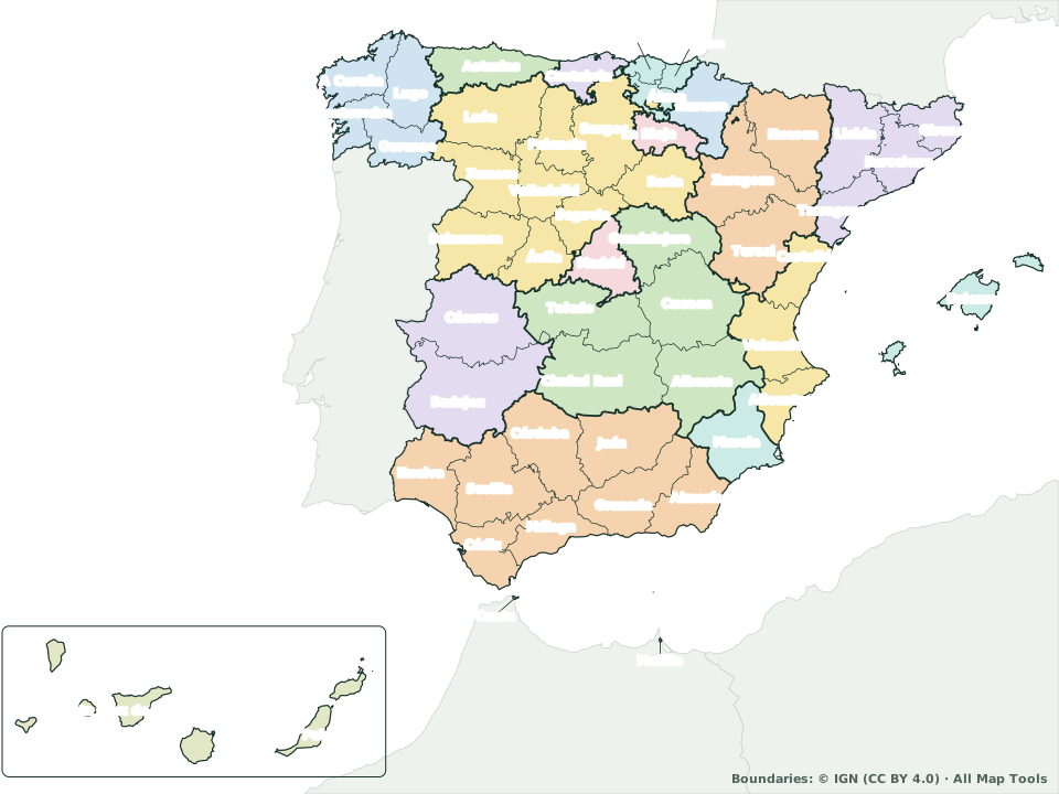 Map of Spain by province The 50 provinces plus Ceuta and Melilla, with their capitals and areas. With community, capitals and blank views. See the map
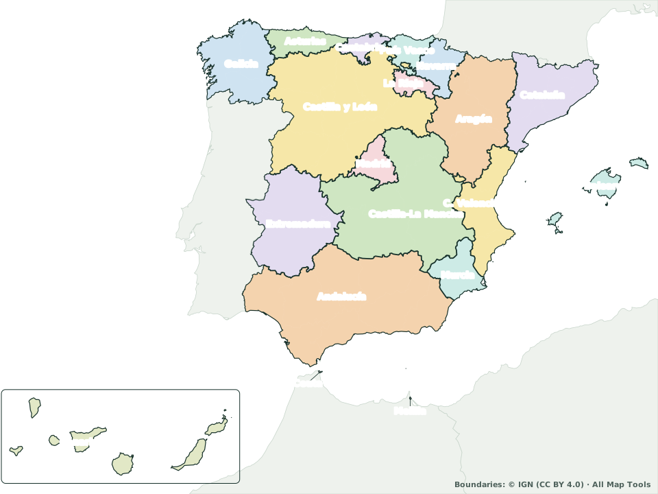 Map of Spain by autonomous community The 17 autonomous communities and 2 autonomous cities, with their provinces, seats of government and areas. See the map
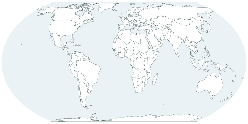
Blank maps to print
The world, 6 continents, 53 countries, the US with each state by county, and Spain with each of its regions: blank, numbered, labeled or with capitals. See the blank mapsThe world and the continents
Countries
- United States
- Argentina
- Bolivia
- Brazil
- Canada
- Chile
- Colombia
- Costa Rica
- Cuba
- Dominican Republic
- Ecuador
- El Salvador
- Guatemala
- Honduras
- Mexico
- Nicaragua
- Panama
- Paraguay
- Peru
- Uruguay
- Venezuela
- Austria
- Belgium
- Czechia
- Denmark
- France
- Germany
- Greece
- Hungary
- Ireland
- Italy
- Netherlands
- Norway
- Poland
- Portugal
- Romania
- Sweden
- Switzerland
- United Kingdom
- China
- India
- Indonesia
- Japan
- Philippines
- South Korea
- Thailand
- Turkey
- Vietnam
- Egypt
- Kenya
- Nigeria
- South Africa
- Australia
- New Zealand
Each US state by county
All 50 states, each with its counties: 3,143 in all.
- Alabama
- Alaska
- Arizona
- Arkansas
- California
- Colorado
- Connecticut
- Delaware
- Florida
- Georgia
- Hawaii
- Idaho
- Illinois
- Indiana
- Iowa
- Kansas
- Kentucky
- Louisiana
- Maine
- Maryland
- Massachusetts
- Michigan
- Minnesota
- Mississippi
- Missouri
- Montana
- Nebraska
- Nevada
- New Hampshire
- New Jersey
- New Mexico
- New York
- North Carolina
- North Dakota
- Ohio
- Oklahoma
- Oregon
- Pennsylvania
- Rhode Island
- South Carolina
- South Dakota
- Tennessee
- Texas
- Utah
- Vermont
- Virginia
- Washington
- West Virginia
- Wisconsin
- Wyoming
Blank map of each Spanish region
Each autonomous community with its provinces (or its municipalities, if it has just one province).
Spain on the map
- Autonomous communities
- 17
- Provinces
- 50
- Autonomous cities
- 2
- Largest province
- Badajoz 21,752 km² · Extremadura
- Largest community
- Castile and León 94,081 km² · 9 provinces
For class and for fun
Frequently asked questions
What people most often ask about these maps.
Source of the boundaries and areas: IGN, Spain’s national mapping agency (CC BY 4.0). Methodology and sources
Which map of Spain should I use?
To see or learn the 50 provinces and their capitals, the map by province. For the 17 autonomous communities (regions), their seats of government and provinces, the map by community. For students to write in the names, a blank map.
Are they free?
Yes, all of them, with no sign-up. View them on screen, download them as PDF, PNG or SVG and print them as often as you like for class or at home.
Which countries have a blank map?
53 countries with their divisions, plus the US and Spain: in the Americas, Argentina, Bolivia, Brazil, Canada, Chile, Colombia, Costa Rica, Cuba, Dominican Republic, Ecuador, El Salvador, Guatemala, Honduras, Mexico, Nicaragua, Panama, Paraguay, Peru, Uruguay, Venezuela; in Europe, Austria, Belgium, Czechia, Denmark, France, Germany, Greece, Hungary, Ireland, Italy, Netherlands, Norway, Poland, Portugal, Romania, Sweden, Switzerland, United Kingdom; in Asia, China, India, Indonesia, Japan, Philippines, South Korea, Thailand, Turkey, Vietnam; in Africa, Egypt, Kenya, Nigeria, South Africa; in Oceania, Australia, New Zealand.
Are there county maps of the US states?
Yes, all 50: 3,143 counties in all, including Louisiana’s parishes, Alaska’s boroughs, Connecticut’s planning regions and Virginia’s independent cities. Each one tells you how many counties the state has, the largest and most populous, and which one holds the capital.
Where do the boundaries come from?
Spain’s come from its national mapping agency (IGN), licensed CC BY 4.0: if you publish one of these maps, credit “Boundaries: © IGN”. The world and the other countries come from Natural Earth (public domain), and the US states from the Census Bureau.